This course has been discontinued
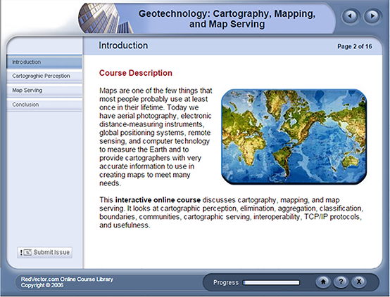
Maps are one of the few things that most people probably use at least once in their lifetime. Today we have aerial photography, electronic distance-measuring instruments, global positioning systems, remote sensing and computer technology to measure the Earth and to provide cartographers with very accurate information to use in creating maps to meet many needs. This
3-hour interactive online course discusses cartography, mapping and map serving. It looks at cartographic perception, elimination, aggregation, classification, boundaries, communities, cartographic distribution, map serving, interoperability, TCP/IP protocols and usefulness.
This course includes a test at the end.